
Harlingen ZIP Coverage
Harlingen has four documented postal ZIPs, but they do not all describe the same kind of delivery area. The Texas General Postal Corporation list classifies two as standard ZIPs and two as post-office-box-only ZIPs. The list associates all four with Harlingen as the post office or community. That postal association should be read as a delivery reference. It does not establish incorporated-city jurisdiction, a parcel boundary, current residence, or eligibility for a city service. The directory starts by separating those meanings before any property, voter, or local-history search is attempted.
| ZIP | Areas Covered | Post Office | Notes |
|---|---|---|---|
| 78550 | Harlingen plus Adams Gardens, Arroyo, Avondale, Hgn, Kayare, Primera and Stuart Place labels | Harlingen | Standard delivery ZIP; postal aliases can be outside city limits. |
| 78551 | Harlingen mailing use | Harlingen | PO Box only; it cannot identify a residence or parcel. |
| 78552 | Harlingen and Palm Valley label | Harlingen | Standard delivery ZIP; postal label does not decide jurisdiction. |
| 78553 | Harlingen mailing use | Harlingen | PO Box only; use as a contact clue, not a street location. |
The authoritative local references are the Texas ZIP-list PDF and the USPS postal lookup tool. USPS is the final address-standardization source for a particular delivery point. The ZIP-list PDF is not a tax, voter, parcel, or municipal-boundary dataset. Keep that distinction when using the Harlingen postal directory to organize a search.
Harlingen Standard ZIPs
The difference between a standard ZIP and a box-only ZIP changes what can be responsibly inferred. Standard ZIPs 78550 and 78552 can be paired with a street address, then checked against USPS formatting and a parcel source. The box-only 78551 and 78553 entries identify mailing service, not a physical delivery point. A box number may be useful as a contact detail in a record, but it should not be converted into a street address or used to select a parcel.
This comparison is central: standard ZIPs help normalize a delivery address, while PO Box ZIPs do not identify where a person resides or where property sits. Even with a standard ZIP, a voter result is a one-person matching tool, not a street-wide roster. Cameron CAD offers owner, address, account, legal-description, and map routes, but a current ZIP-filter result limit or whole-ZIP export behavior was not verified.
Postal limit. A Harlingen PO Box ZIP can support a mailing clue, but it cannot establish a residence, parcel, or municipal address.
Harlingen 78550 ZIP Aliases
ZIP 78550 has an unusual set of listed aliases: Adams Gardens, Arroyo, Avondale, Hgn, Kayare, Primera, and Stuart Place. A street address in one of those named communities can still use Harlingen as its postal city. The reverse is also possible in practice: a Harlingen-related research question may use a neighboring mailing label or a PO Box. Treat every postal city as an address-format fact first, then check the agency whose boundary matters.
That distinction has a direct records effect. A 78550 search can bring back Harlingen-addressed material for Primera or Stuart Place, include a record outside the incorporated city, or miss someone using a PO Box or another mailing label. Postal research should never flatten those results into one municipal category. The City Charter and annexation material, rather than a postal alias, provide the municipal-boundary layer.
Note: A postal alias can describe delivery geography without changing the city limits or the custodian for a local record.
Harlingen ZIP Search Fields
For an individual voter-status search, the VoteTexas My Voter Portal documents a ZIP code field alongside name and identity-matching routes. Select Cameron County for a Harlingen search. The ZIP narrows polling or registration matching and should reflect the current address, not an assumption about city limits. The portal is designed to confirm a voter’s registration and polling information, not to browse every voter in a ZIP.
| Field or mode | Documented use | Required |
|---|---|---|
| First and last name | Name route; use legal and documented variant spellings. | By-name mode |
| County | Select Cameron for the Harlingen area. | By-name mode |
| Date of birth | Matching input in the name route; individual DOB is generally confidential. | By-name mode |
| ZIP code | Narrows polling or registration results using the current address ZIP. | Optional lookup input |
| VUID or Texas driver-license number | Alternative matching routes; driver-license number works only when supplied on the application. | Alternative mode |
Texas voter material has protected fields. Ballot choices are not public, and application phone numbers plus driver-license, personal-ID, and Social Security information are confidential. Protected voters can have a confidential record or an asterisk instead of a public residence address.
Search a Harlingen ZIP
Use a ZIP as a narrowing tool, not a claim about the full area. Start with USPS to standardize a known delivery point. Then choose the custodian by the fact needed: CAD for a parcel, the County Clerk for a recorded instrument, the voter portal for one person's registration or polling match, and the city or county for a jurisdiction question. A search term and recorded-date range in the clerk portal do not promise a ZIP-wide resident export.
- Enter the street address in the USPS lookup and keep the returned postal form with the search date.
- Check whether the result is a standard delivery ZIP or a PO Box ZIP before using it as a filter.
- For a named voter, use the documented VoteTexas inputs and the current ZIP as a matching detail.
- For property, search CAD by address, owner, account, or legal description, then retain the parcel identifiers.
- For a recorded document, move to the County Clerk using the party name, legal description, instrument information, and date range.
The USPS postal lookup is the address-normalization entry point used before a record query.
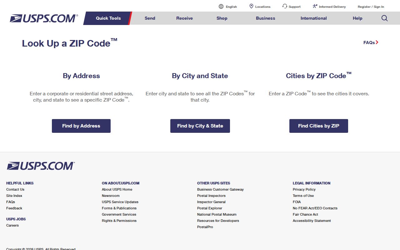
Once a ZIP has narrowed a delivery area to a particular street, the Harlingen By Street directory is the better route for the address-keyed parcel and deed workflow. It uses the situs address, legal description, and recorded instrument instead of treating the ZIP as a parcel identifier.
Harlingen Before ZIPs
Older Harlingen sources predate current postal codes. City directories, newspapers, and deeds can use Harlingen as a community identifier without any modern ZIP. Search the city name, street, subdivision, post office, rural route, and former community label, then record the publication year. A search restricted to 78550 or 78552 can miss the relevant historical item simply because the source was created before the current postal system.
The June 1919 Harlingen Sanborn map is organized by city and sheet, not ZIP. It can help compare historical street layout, building footprint, railroad adjacency, and named businesses. It cannot prove current ownership, current street numbering, or occupancy. Pair a dated map with a deed, city directory, or newspaper item and describe the date of each source.
Harlingen ZIP City Limits
ZIP boundaries and Harlingen city limits are separate systems. The city charter and annexation packet supply the municipal layer; the reviewed map is dated August 28, 2023 and describes annexation and disannexation changes across multiple decades, including 2021 through 2023 changes. A current Harlingen mailing label may therefore describe an outlying community or county context while a city service issue depends on the annexation line.
For an address correction or boundary conflict, save three facts separately: the USPS result, the CAD situs field, and the city or county jurisdiction contact. CAD says it does not issue physical addresses. For rural, Primera, and Combes address letters, it directs users to the Cameron County Emergency Communication District at 501 Camelot Drive in Harlingen, phone 866-286-8777. A CAD account number, deed book and page, or instrument number answers a different question from the postal result.
The USPS service route supplies the postal context represented by the second capture.
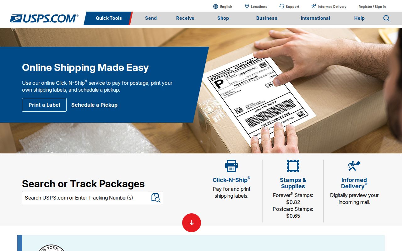
Keep dates with each value if the sources disagree. That record of the mismatch is more useful than forcing one label to stand for a postal delivery area, a CAD parcel, and a municipal boundary at once.
Harlingen ZIP Terms
A ZIP code is a postal sorting designation. It is not a neighborhood, precinct, parcel number, or city-limit line. A ZIP+4 adds delivery-segment detail to a base ZIP. A PO Box ZIP handles box mail and has no residential-location value. A unique ZIP is assigned to one institution, although the Harlingen research identified no unique ZIP among the four documented entries. A carrier route is a delivery grouping and not a resident list.
USPS formats the address, CAD maps the parcel, the County Clerk records instruments, and the city or county decides jurisdiction. Utility customer names and delivery-route data are not established as a public Harlingen-wide resident index. Where a search cannot be supported by an identified public record, stop at the agency boundary instead of inventing a match.
For a deed, permit, code record, or emergency-address correction, retain the postal form, CAD situs value, legal description or instrument data, and agency boundary separately. Those fields prevent an old community label from becoming a false parcel match.
- ZIP versus ZIP+4
- The base postal code and its more specific delivery-segment extension.
- PO Box ZIP
- A ZIP used for post-office-box delivery, not a physical residence or parcel.
- Unique ZIP
- A ZIP assigned to one institution; none was documented for the four Harlingen entries.
- Carrier route
- A postal delivery grouping that does not establish occupancy or a public address directory.